
Gerry topographic map
Interactive map
Click on the map to display elevation.
About this map
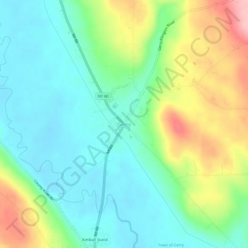
Name: Gerry topographic map, elevation, terrain.
Location: Gerry, Chautauqua County, New York, 14740, United States (42.17339 -79.26866 42.21339 -79.22866)
Average elevation: 428 m
Minimum elevation: 377 m
Maximum elevation: 534 m