
前进街道 topographic map
Interactive map
Click on the map to display elevation.
About this map
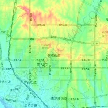
Name: 前进街道 topographic map, elevation, terrain.
Location: 前进街道, 平桥区, 信阳市, 河南省, 中国 (32.12791 114.05999 32.17602 114.13487)
Average elevation: 108 m
Minimum elevation: 76 m
Maximum elevation: 166 m
Other topographic maps
Click on a map to view its topography, its elevation and its terrain.