
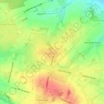
Leopoldshöhe topographic map
Interactive map
Click on the map to display elevation.
About this map
Name: Leopoldshöhe topographic map, elevation, terrain.
Location: Leopoldshöhe, Kreis Lippe, Nordrhein-Westfalen, Deutschland (52.00471 8.68612 52.02095 8.71206)
Average elevation: 119 m
Minimum elevation: 87 m
Maximum elevation: 146 m
Leopoldshöhe (plattdeutsch: Höchte) ist eine Gemeinde im Kreis Lippe. Sie liegt zentral in Ostwestfalen-Lippe, einer Region im Nordosten des Landes Nordrhein-Westfalen, und grenzt im Westen an die kreisfreie Stadt Bielefeld.
Other topographic maps
Click on a map to view its topography, its elevation and its terrain.
Freesenberg
Deutschland > Nordrhein-Westfalen > Kreis Lippe > Leopoldshöhe
Freesenberg, Leopoldshöhe, Kreis Lippe, Nordrhein-Westfalen, 33813, Deutschland
Average elevation: 189 m
Merkslohberg
Deutschland > Nordrhein-Westfalen > Kreis Lippe > Leopoldshöhe
Merkslohberg, Leopoldshöhe, Kreis Lippe, Nordrhein-Westfalen, 33813, Deutschland
Average elevation: 209 m