
Santivañez topographic map
Interactive map
Click on the map to display elevation.
About this map
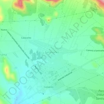
Name: Santivañez topographic map, elevation, terrain.
Location: Santivañez, Capinota, Cochabamba, Bolivia (-17.57010 -66.26852 -17.53010 -66.22852)
Average elevation: 2,563 m
Minimum elevation: 2,517 m
Maximum elevation: 2,709 m