
Thank you for supporting this site ❤️
Make a donation
Make a donation
Mount Popo Agie topographic map
Click on the map to display elevation.
Thank you for supporting this site ❤️
Make a donation
Make a donation
About this map
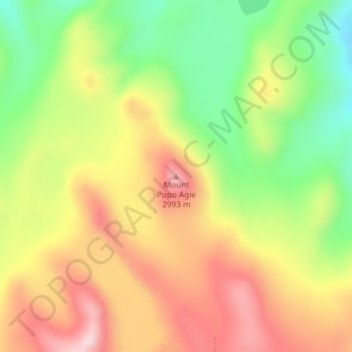
Name: Mount Popo Agie topographic map, elevation, terrain.
Location: Mount Popo Agie, Fremont County, Wyoming, United States (42.91602 -109.10129 42.91612 -109.10119)
Average elevation: 2,848 m
Minimum elevation: 2,673 m
Maximum elevation: 3,021 m
Thank you for supporting this site ❤️
Make a donation
Make a donation
Other topographic maps
Click on a map to view its topography, its elevation and its terrain.