
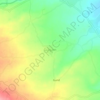
Gulgam topographic map
Interactive map
Click on the map to display elevation.
About this map
Name: Gulgam topographic map, elevation, terrain.
Location: Gulgam, Handwara, Kupwara District, Jammu and Kashmir, India (34.46996 74.13547 34.47255 74.13950)
Average elevation: 1,803 m
Minimum elevation: 1,756 m
Maximum elevation: 1,862 m