
Ryceville topographic map
Interactive map
Click on the map to display elevation.
About this map
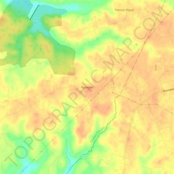
Name: Ryceville topographic map, elevation, terrain.
Location: Ryceville, Charles County, Maryland, 20622, United States (38.41568 -76.85052 38.45568 -76.81052)
Average elevation: 46 m
Minimum elevation: 16 m
Maximum elevation: 60 m