
然乌镇 topographic map
Interactive map
Click on the map to display elevation.
About this map
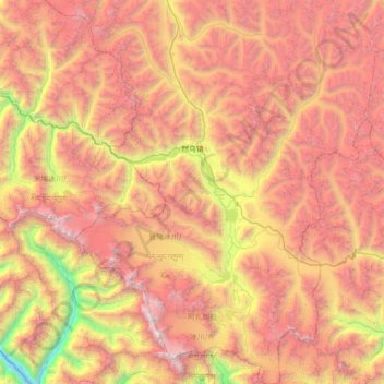
Name: 然乌镇 topographic map, elevation, terrain.
Location: 然乌镇, 八宿县, 昌都市, 西藏自治区, 中国 (29.12510 96.54162 29.74083 97.09238)
Average elevation: 4,849 m
Minimum elevation: 2,641 m
Maximum elevation: 6,798 m
Other topographic maps
Click on a map to view its topography, its elevation and its terrain.