
Montebello topographic map
Interactive map
Click on the map to display elevation.
About this map
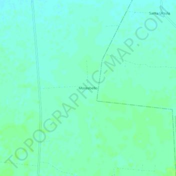
Name: Montebello topographic map, elevation, terrain.
Location: Montebello, Yobaín, Yucatán, México (21.29638 -89.12036 21.33638 -89.08036)
Average elevation: 4 m
Minimum elevation: 0 m
Maximum elevation: 8 m
Other topographic maps
Click on a map to view its topography, its elevation and its terrain.