
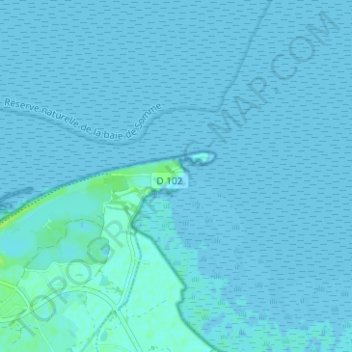
Le Hourdel topographic map
Interactive map
Click on the map to display elevation.
About this map
Name: Le Hourdel topographic map, elevation, terrain.
Average elevation: 1 m
Minimum elevation: -1 m
Maximum elevation: 10 m
Other topographic maps
Click on a map to view its topography, its elevation and its terrain.
Brighton
France > Hauts-de-France > Somme > Cayeux-sur-Mer
Brighton, Cayeux-sur-Mer, Abbeville, Somme, Hauts-de-France, France métropolitaine, 80410, France
Average elevation: 3 m
La Mollière
France > Hauts-de-France > Somme > Cayeux-sur-Mer
La Mollière, Cayeux-sur-Mer, Abbeville, Somme, Hauts-de-France, France métropolitaine, 80410, France
Average elevation: 3 m