
Thank you for supporting this site ❤️
Make a donation
Make a donation
Hughesville topographic map
Click on the map to display elevation.
Thank you for supporting this site ❤️
Make a donation
Make a donation
About this map
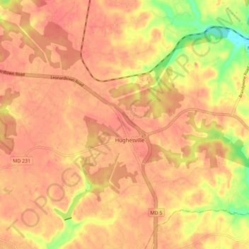
Name: Hughesville topographic map, elevation, terrain.
Location: Hughesville, Charles County, Maryland, 20637, United States (38.50783 -76.82111 38.56640 -76.73363)
Average elevation: 49 m
Minimum elevation: 5 m
Maximum elevation: 65 m
Thank you for supporting this site ❤️
Make a donation
Make a donation