
Georgetown topographic map
Interactive map
Click on the map to display elevation.
About this map
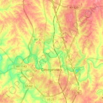
Name: Georgetown topographic map, elevation, terrain.
Location: Georgetown, Scott County, Kentucky, 40324, USA (38.17693 -84.60207 38.27794 -84.50419)
Average elevation: 265 m
Minimum elevation: 221 m
Maximum elevation: 296 m