
Eastern Band of Cherokee Indians topographic map
Interactive map
Click on the map to display elevation.
About this map
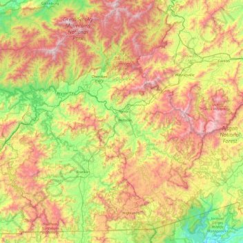
Name: Eastern Band of Cherokee Indians topographic map, elevation, terrain.
Average elevation: 980 m
Minimum elevation: 271 m
Maximum elevation: 2,014 m