
Dauh Puri Kangin topographic map
Interactive map
Click on the map to display elevation.
About this map
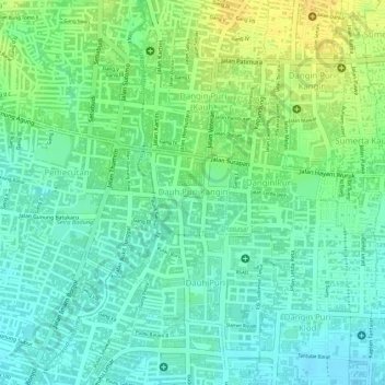
Name: Dauh Puri Kangin topographic map, elevation, terrain.
Location: Dauh Puri Kangin, Denpasar Barat, Denpasar, Bali, Indonesia (-8.66147 115.21200 -8.65537 115.21860)
Average elevation: 26 m
Minimum elevation: 14 m
Maximum elevation: 41 m
Other topographic maps
Click on a map to view its topography, its elevation and its terrain.
Dauh Puri Kangin
Indonesia > Bali > Denpasar > Dauh Puri Kangin
Dauh Puri Kangin, Denpasar Barat, Denpasar, Bali, 80232, Indonesia
Average elevation: 26 m