
El Mechta topographic map
Interactive map
Click on the map to display elevation.
About this map
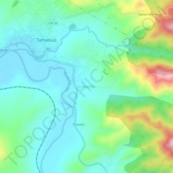
Name: El Mechta topographic map, elevation, terrain.
Location: El Mechta, Tamalous, Daïra Tamalous, Skikda, 21005, Algérie (36.80540 6.63438 36.84540 6.67438)
Average elevation: 121 m
Minimum elevation: 38 m
Maximum elevation: 361 m