
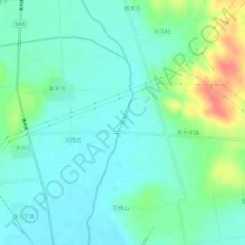
吉利河 topographic map
Interactive map
Click on the map to display elevation.
About this map
Name: 吉利河 topographic map, elevation, terrain.
Location: 吉利河, 黄岛区, 青岛市, 山东省, 266500, 中国 (35.72782 119.62861 35.76722 119.63875)
Average elevation: 31 m
Minimum elevation: 15 m
Maximum elevation: 72 m
Other topographic maps
Click on a map to view its topography, its elevation and its terrain.