
Weerberg topographic map
Interactive map
Click on the map to display elevation.
About this map
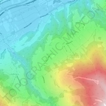
Name: Weerberg topographic map, elevation, terrain.
Average elevation: 873 m
Minimum elevation: 539 m
Maximum elevation: 1,619 m
Other topographic maps
Click on a map to view its topography, its elevation and its terrain.
Innerst
Österreich > Tirol > Bezirk Schwaz > Gemeinde Weerberg > Innerst
Innerst, Gemeinde Weerberg, Bezirk Schwaz, Tirol, 6133, Österreich
Average elevation: 1,529 m