
双桥河 topographic map
Interactive map
Click on the map to display elevation.
About this map
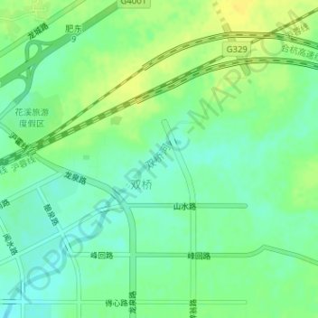
Name: 双桥河 topographic map, elevation, terrain.
Location: 双桥河, 店埠镇, 肥东县, 合肥市, 安徽省, 231600, 中国 (31.86662 117.50387 31.86956 117.50823)
Average elevation: 21 m
Minimum elevation: 10 m
Maximum elevation: 32 m