
Felda Bukit Ramun topographic map
Interactive map
Click on the map to display elevation.
About this map
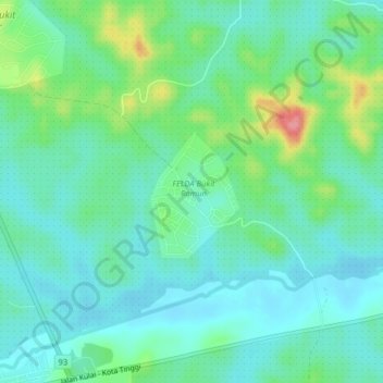
Name: Felda Bukit Ramun topographic map, elevation, terrain.
Location: Felda Bukit Ramun, Kota Tinggi, Johor, 81450, Malaysia (1.73402 103.70704 1.77402 103.74704)
Average elevation: 30 m
Minimum elevation: 5 m
Maximum elevation: 105 m