
Hachenburg topographic map
Interactive map
Click on the map to display elevation.
About this map
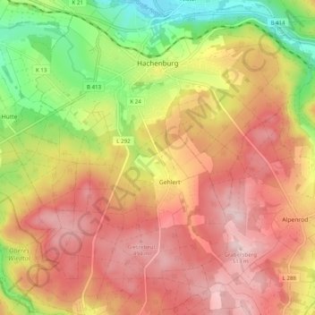
Name: Hachenburg topographic map, elevation, terrain.
Location: Hachenburg, Westerwaldkreis, Rhineland-Palatinate, Germany (50.61266 7.78231 50.67517 7.87319)
Average elevation: 401 m
Minimum elevation: 246 m
Maximum elevation: 518 m