
Luther topographic map
Interactive map
Click on the map to display elevation.
About this map
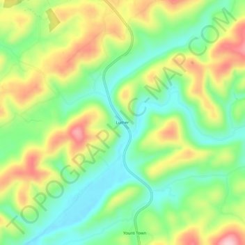
Name: Luther topographic map, elevation, terrain.
Location: Luther, Hancock County, Tennessee, 37881, United States (36.44092 -83.26017 36.48092 -83.22017)
Average elevation: 460 m
Minimum elevation: 366 m
Maximum elevation: 597 m