
Segari topographic map
Interactive map
Click on the map to display elevation.
About this map
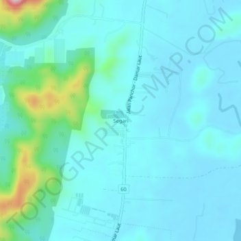
Name: Segari topographic map, elevation, terrain.
Location: Segari, Manjung, Perak, Malaysia (4.33513 100.60520 4.37513 100.64520)
Average elevation: 37 m
Minimum elevation: -1 m
Maximum elevation: 262 m