
Forheim topographic map
Interactive map
Click on the map to display elevation.
About this map
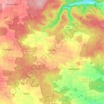
Name: Forheim topographic map, elevation, terrain.
Location: Forheim, Ries, Landkreis Donau-Ries, Bayern, Deutschland (48.72746 10.41207 48.78671 10.49591)
Average elevation: 565 m
Minimum elevation: 466 m
Maximum elevation: 631 m