
North Lima topographic map
Interactive map
Click on the map to display elevation.
About this map
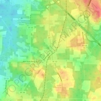
Name: North Lima topographic map, elevation, terrain.
Location: North Lima, Mahoning County, Ohio, 44452, United States (40.92839 -80.67896 40.96839 -80.63896)
Average elevation: 335 m
Minimum elevation: 303 m
Maximum elevation: 372 m