
Boussemghoun topographic map
Interactive map
Click on the map to display elevation.
About this map
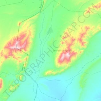
Name: Boussemghoun topographic map, elevation, terrain.
Location: Boussemghoun, daïra Boussemghoun, El Bayadh, 32014, Algérie (32.66267 -0.09473 32.95354 0.24808)
Average elevation: 1,092 m
Minimum elevation: 839 m
Maximum elevation: 1,980 m