Tall ash Sha`r topographic map
Interactive map
Click on the map to display elevation.
About this map
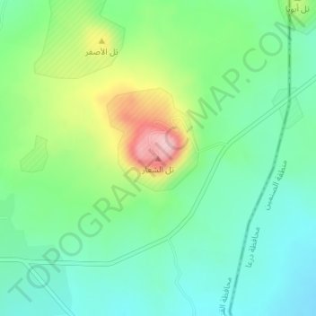
Name: Tall ash Sha`r topographic map, elevation, terrain.
Average elevation: 1,006 m
Minimum elevation: 947 m
Maximum elevation: 1,134 m

Click on the map to display elevation.
Name: Tall ash Sha`r topographic map, elevation, terrain.
Average elevation: 1,006 m
Minimum elevation: 947 m
Maximum elevation: 1,134 m