
黑龙口镇 topographic map
Interactive map
Click on the map to display elevation.
About this map
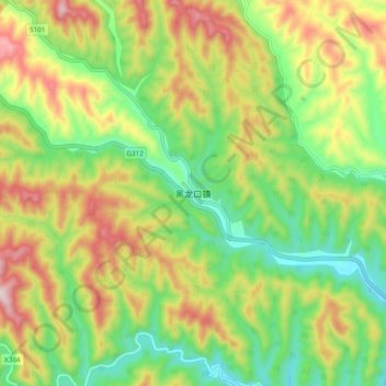
Name: 黑龙口镇 topographic map, elevation, terrain.
Location: 黑龙口镇, 商洛市, 陕西省, 中国 (33.96977 109.69049 34.04977 109.77049)
Average elevation: 1,036 m
Minimum elevation: 836 m
Maximum elevation: 1,314 m
Other topographic maps
Click on a map to view its topography, its elevation and its terrain.