
Outeiro de Gatos topographic map
Interactive map
Click on the map to display elevation.
About this map
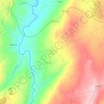
Name: Outeiro de Gatos topographic map, elevation, terrain.
Average elevation: 669 m
Minimum elevation: 535 m
Maximum elevation: 807 m
Other topographic maps
Click on a map to view its topography, its elevation and its terrain.
Fonte Longa
Portugal > Guarda > Mêda, Outeiro de Gatos e Fonte Longa > Fonte Longa
Fonte Longa, Mêda, Outeiro de Gatos e Fonte Longa, Mêda, Guarda, Portugal
Average elevation: 562 m