
肥乡区 topographic map
Interactive map
Click on the map to display elevation.
About this map
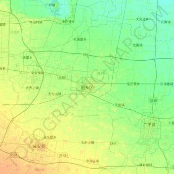
Name: 肥乡区 topographic map, elevation, terrain.
Location: 肥乡区, 河北省, 057500, 中国 (36.39070 114.63592 36.71070 114.95592)
Average elevation: 51 m
Minimum elevation: 40 m
Maximum elevation: 65 m
Other topographic maps
Click on a map to view its topography, its elevation and its terrain.