
Richgrove topographic map
Interactive map
Click on the map to display elevation.
About this map
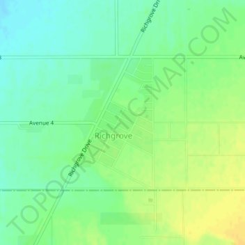
Name: Richgrove topographic map, elevation, terrain.
Location: Richgrove, Tulare County, California, 93261, United States (35.79075 -119.11482 35.80525 -119.10237)
Average elevation: 157 m
Minimum elevation: 145 m
Maximum elevation: 169 m