
Komberg topographic map
Interactive map
Click on the map to display elevation.
About this map
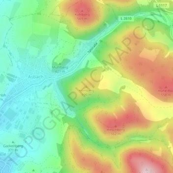
Name: Komberg topographic map, elevation, terrain.
Average elevation: 436 m
Minimum elevation: 316 m
Maximum elevation: 615 m
Other topographic maps
Click on a map to view its topography, its elevation and its terrain.
Wernshausen
Deutschland > Thüringen > Landkreis Schmalkalden-Meiningen > Schmalkalden
Wernshausen, Schmalkalden, Landkreis Schmalkalden-Meiningen, Thüringen, 98574, Deutschland
Average elevation: 304 m