
Graymere Manor topographic map
Interactive map
Click on the map to display elevation.
About this map
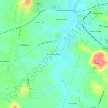
Name: Graymere Manor topographic map, elevation, terrain.
Average elevation: 207 m
Minimum elevation: 178 m
Maximum elevation: 288 m
Other topographic maps
Click on a map to view its topography, its elevation and its terrain.
Highland Park
United States > Tennessee > Maury County > Columbia > Highland Park
Highland Park, Columbia, Maury County, Tennessee, 38401, United States
Average elevation: 209 m
Duck River
United States > Tennessee > Maury County > Columbia
Duck River, Columbia, Maury County, Tennessee, 38487, United States
Average elevation: 210 m