
Kalyanpar (Bachau) topographic map
Interactive map
Click on the map to display elevation.
About this map
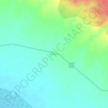
Name: Kalyanpar (Bachau) topographic map, elevation, terrain.
Average elevation: 19 m
Minimum elevation: 1 m
Maximum elevation: 66 m
Other topographic maps
Click on a map to view its topography, its elevation and its terrain.
Khadir Bet
India > Gujarat > Bhachau Taluka
Khadir Bet, Bhachau Taluka, Kachchh, Gujarat, India
Average elevation: 14 m
Lakhpat (Bachau)
India > Gujarat > Bhachau Taluka
Lakhpat (Bachau), Bhachau Taluka, Kachchh, Gujarat, India
Average elevation: 61 m