
寿山镇 topographic map
Interactive map
Click on the map to display elevation.
About this map
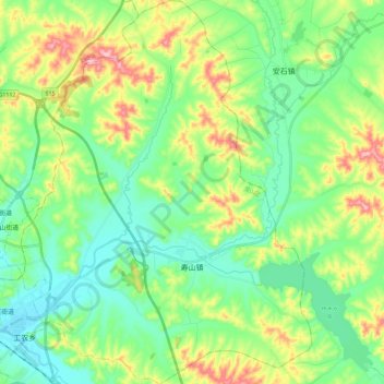
Name: 寿山镇 topographic map, elevation, terrain.
Location: 寿山镇, 龙山区, 辽源市, 吉林省, 中国 (42.86749 125.16200 43.03383 125.33429)
Average elevation: 322 m
Minimum elevation: 259 m
Maximum elevation: 462 m