
Taşbaşı topographic map
Interactive map
Click on the map to display elevation.
About this map
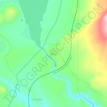
Name: Taşbaşı topographic map, elevation, terrain.
Location: Taşbaşı, Arpaçay, Kars, Eastern Anatolia Region, Turkey (40.91821 43.27175 40.95821 43.31175)
Average elevation: 2,001 m
Minimum elevation: 1,905 m
Maximum elevation: 2,195 m