
Langenhain topographic map
Interactive map
Click on the map to display elevation.
About this map
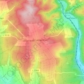
Name: Langenhain topographic map, elevation, terrain.
Location: Langenhain, Hofheim am Taunus, Main-Taunus-Kreis, Hesse, Germany (50.08332 8.35943 50.12501 8.42914)
Average elevation: 276 m
Minimum elevation: 132 m
Maximum elevation: 404 m