
Methow topographic map
Interactive map
Click on the map to display elevation.
About this map
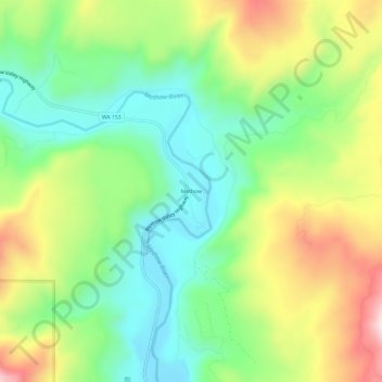
Name: Methow topographic map, elevation, terrain.
Location: Methow, Okanogan County, Washington, 98834, United States (48.11014 -120.02368 48.15014 -119.98368)
Average elevation: 487 m
Minimum elevation: 319 m
Maximum elevation: 759 m