
Djebel Segleb topographic map
Interactive map
Click on the map to display elevation.
About this map
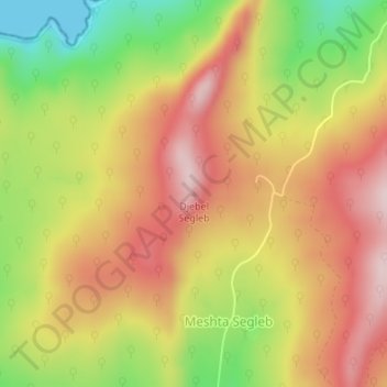
Name: Djebel Segleb topographic map, elevation, terrain.
Location: Djebel Segleb, Meshta Segleb, Daïra El Kala, El Tarf, Algérie (36.91842 8.60100 36.91852 8.60110)
Average elevation: 175 m
Minimum elevation: 0 m
Maximum elevation: 312 m