
Lake Nasworthy topographic map
Interactive map
Click on the map to display elevation.
About this map
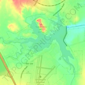
Name: Lake Nasworthy topographic map, elevation, terrain.
Average elevation: 578 m
Minimum elevation: 559 m
Maximum elevation: 607 m
Other topographic maps
Click on a map to view its topography, its elevation and its terrain.
San Angelo
United States > Texas > Tom Green County > San Angelo
San Angelo, Tom Green County, Texas, 76903, United States
Average elevation: 588 m