
North Amityville topographic map
Interactive map
Click on the map to display elevation.
About this map
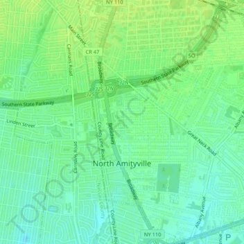
Name: North Amityville topographic map, elevation, terrain.
Average elevation: 15 m
Minimum elevation: 7 m
Maximum elevation: 21 m
Other topographic maps
Click on a map to view its topography, its elevation and its terrain.
Copiague
United States > New York > Suffolk County > Town of Babylon
Copiague, Town of Babylon, Suffolk County, New York, United States
Average elevation: 6 m
North Lindenhurst
United States > New York > Suffolk County > Town of Babylon
North Lindenhurst, Town of Babylon, Suffolk County, New York, United States
Average elevation: 14 m
Wyandanch
United States > New York > Suffolk County > Town of Babylon
Wyandanch, Town of Babylon, Suffolk County, New York, 11798, United States
Average elevation: 21 m
Village of Lindenhurst
United States > New York > Suffolk County > Town of Babylon
Village of Lindenhurst, Town of Babylon, Suffolk County, New York, 11757, United States
Average elevation: 7 m
North Babylon
United States > New York > Suffolk County > Town of Babylon
North Babylon, Town of Babylon, Suffolk County, New York, 11703, United States
Average elevation: 13 m
Deer Park
United States > New York > Suffolk County > Town of Babylon
Deer Park, Town of Babylon, Suffolk County, New York, 11729, United States
Average elevation: 25 m
Village of Amityville
United States > New York > Suffolk County > Town of Babylon
Village of Amityville, Town of Babylon, Suffolk County, New York, United States
Average elevation: 6 m