
南房肚 topographic map
Interactive map
Click on the map to display elevation.
About this map
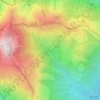
Name: 南房肚 topographic map, elevation, terrain.
Location: 南房肚, 荃灣區, 新界, 香港, 中国 (22.39988 114.12705 22.41988 114.14705)
Average elevation: 588 m
Minimum elevation: 207 m
Maximum elevation: 949 m
Other topographic maps
Click on a map to view its topography, its elevation and its terrain.