
Cipicung topographic map
Interactive map
Click on the map to display elevation.
About this map
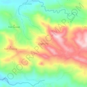
Name: Cipicung topographic map, elevation, terrain.
Location: Cipicung, Majalengka Regency, West Java, Indonesia (-6.91294 108.22752 -6.87294 108.26752)
Average elevation: 416 m
Minimum elevation: 227 m
Maximum elevation: 662 m