
Embken topographic map
Interactive map
Click on the map to display elevation.
About this map
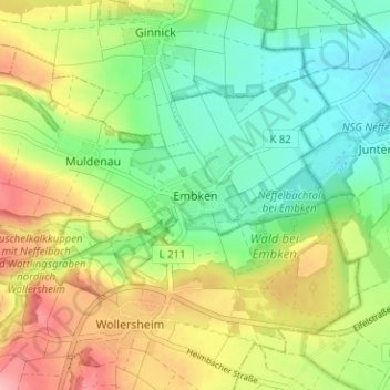
Name: Embken topographic map, elevation, terrain.
Location: Embken, Kreis Düren, Nordrhein-Westfalen, Deutschland (50.66444 6.55471 50.70444 6.59471)
Average elevation: 209 m
Minimum elevation: 157 m
Maximum elevation: 286 m