
In der Stadt topographic map
Interactive map
Click on the map to display elevation.
About this map
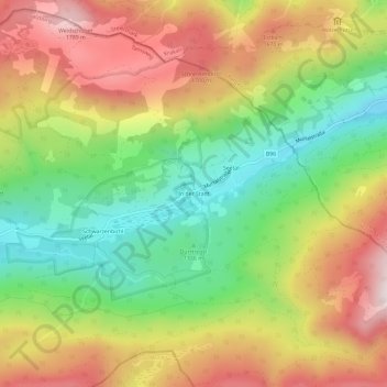
Name: In der Stadt topographic map, elevation, terrain.
Average elevation: 1,476 m
Minimum elevation: 1,179 m
Maximum elevation: 1,813 m
Other topographic maps
Click on a map to view its topography, its elevation and its terrain.
Judendorf
Österreich > Salzburg > Bezirk Tamsweg > Tamsweg
Judendorf, Tamsweg, Bezirk Tamsweg, Salzburg, 5580, Österreich
Average elevation: 1,144 m