
Cerdido topographic map
Interactive map
Click on the map to display elevation.
About this map
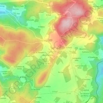
Name: Cerdido topographic map, elevation, terrain.
Location: Cerdido, Ortegal, Galicia, 15569, España (43.58751 -7.97228 43.62751 -7.93228)
Average elevation: 264 m
Minimum elevation: 131 m
Maximum elevation: 401 m
Other topographic maps
Click on a map to view its topography, its elevation and its terrain.