
Rantau Prapat topographic map
Interactive map
Click on the map to display elevation.
About this map
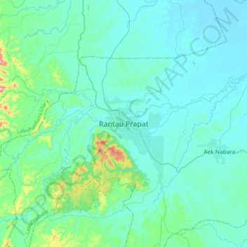
Name: Rantau Prapat topographic map, elevation, terrain.
Location: Rantau Prapat, Labuhanbatu, North Sumatra, 21411, Indonesia (1.93602 99.66984 2.25602 99.98984)
Average elevation: 65 m
Minimum elevation: 2 m
Maximum elevation: 547 m