
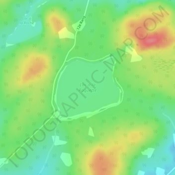
Lac à la Raquette topographic map
Interactive map
Click on the map to display elevation.
About this map
Name: Lac à la Raquette topographic map, elevation, terrain.
Average elevation: 456 m
Minimum elevation: 425 m
Maximum elevation: 499 m
Other topographic maps
Click on a map to view its topography, its elevation and its terrain.
Sainte-Germaine-Station
Canada > Québec > Lac-Etchemin > Sainte-Germaine-Station
Sainte-Germaine-Station, Lac-Etchemin, Les Etchemins, Chaudière-Appalaches, Québec, G0R 4G0, Canada
Average elevation: 392 m