
Retersbeek topographic map
Interactive map
Click on the map to display elevation.
About this map
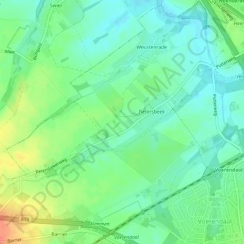
Name: Retersbeek topographic map, elevation, terrain.
Location: Retersbeek, Voerendaal, Limburg, Nederland, 6343PH, Nederland (50.88485 5.89297 50.89801 5.92662)
Average elevation: 90 m
Minimum elevation: 74 m
Maximum elevation: 120 m