
Lurton topographic map
Interactive map
Click on the map to display elevation.
About this map
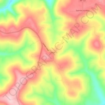
Name: Lurton topographic map, elevation, terrain.
Location: Lurton, Newton County, Arkansas, United States (35.75147 -93.09767 35.79147 -93.05767)
Average elevation: 579 m
Minimum elevation: 452 m
Maximum elevation: 668 m