
Tesnou topographic map
Interactive map
Click on the map to display elevation.
About this map
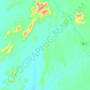
Name: Tesnou topographic map, elevation, terrain.
Location: Tesnou, In Amguel, Daïra de Tamanrasset, Tamanrasset, Algérie (24.48019 4.62299 24.70912 4.69663)
Average elevation: 907 m
Minimum elevation: 798 m
Maximum elevation: 1,700 m
Other topographic maps
Click on a map to view its topography, its elevation and its terrain.
In Ecker
Algérie > Tamanrasset > Daïra de Tamanrasset > In Amguel
In Ecker, In Amguel, Daïra de Tamanrasset, Tamanrasset, Algérie
Average elevation: 999 m